Beyond tree cover: mapping the world’s forest types
A global map categorizing every 10 meter patch of land on Earth into distinct forest types.
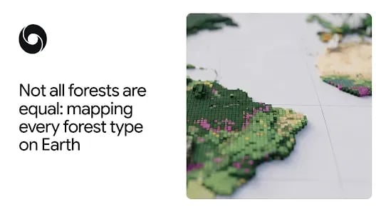
A new 10-meter resolution map shows which of the world's forests are natural, planted, or farmed, and how they are changing over time
Protecting the planet's forests starts with a simple question: what type of forest are we looking at? From space, an old-growth rainforest, a eucalyptus plantation, and an oil palm estate can look like the same patch of green. But they hold very different amounts of carbon and biodiversity. Telling them apart, and knowing how each patch has changed over time, shows us where conservation is working and where natural forests are being converted into plantations and farms.
Today, Google DeepMind and Google Research, together with the World Resources Institute (WRI) and the International Institute for Applied Systems Analysis (IIASA), are releasing Forest Typology (ForTy) 2020, a global map that categorizes every 10-by-10-meter patch of land on Earth into six distinct forest and land-use types, a key baseline for the EU's deforestation regulation. Alongside it, we're sharing an early time series that tracks how these forests changed each year from 2017 to 2025, including where natural forests were replaced by plantations or farms. For the first time, users can see at 10-meter detail worldwide, year by year, not just where forest was lost, but what replaced it: a timber plantation, a tree-crop farm or other land.
Why "tree cover" isn't enough
Keep reading Google DeepMind with Pro
This source is part of the Pro library. Unlock every premium source, AI translation and custom feeds.
Originally published on
Google DeepMind
Keep reading